The Lycian Coast is where Mediterranean scenery and the remains of ancient Lycia occupy the same landscape. From Kaş, the region opens east towards Kekova and Myra and west towards Patara, Xanthos, Letoon and Tlos.
Understanding ancient Lycia
Lycia was not a single city but a network of communities spread between the mountains and the sea. That geography is still visible today: harbours sit below steep slopes, rock-cut tombs appear above modern towns, and major archaeological sites are separated by beaches, farmland and mountain roads.
For a first visit, think in clusters rather than trying to see everything at once. Xanthos, Letoon and Patara work naturally together in the west. Myra, Andriake and Kekova form a strong eastern route. Tlos and the upper Xanthos valley add a more mountainous perspective.
Xanthos, Letoon and Patara
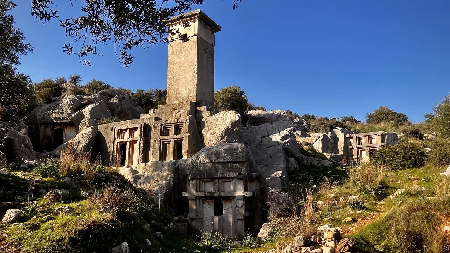
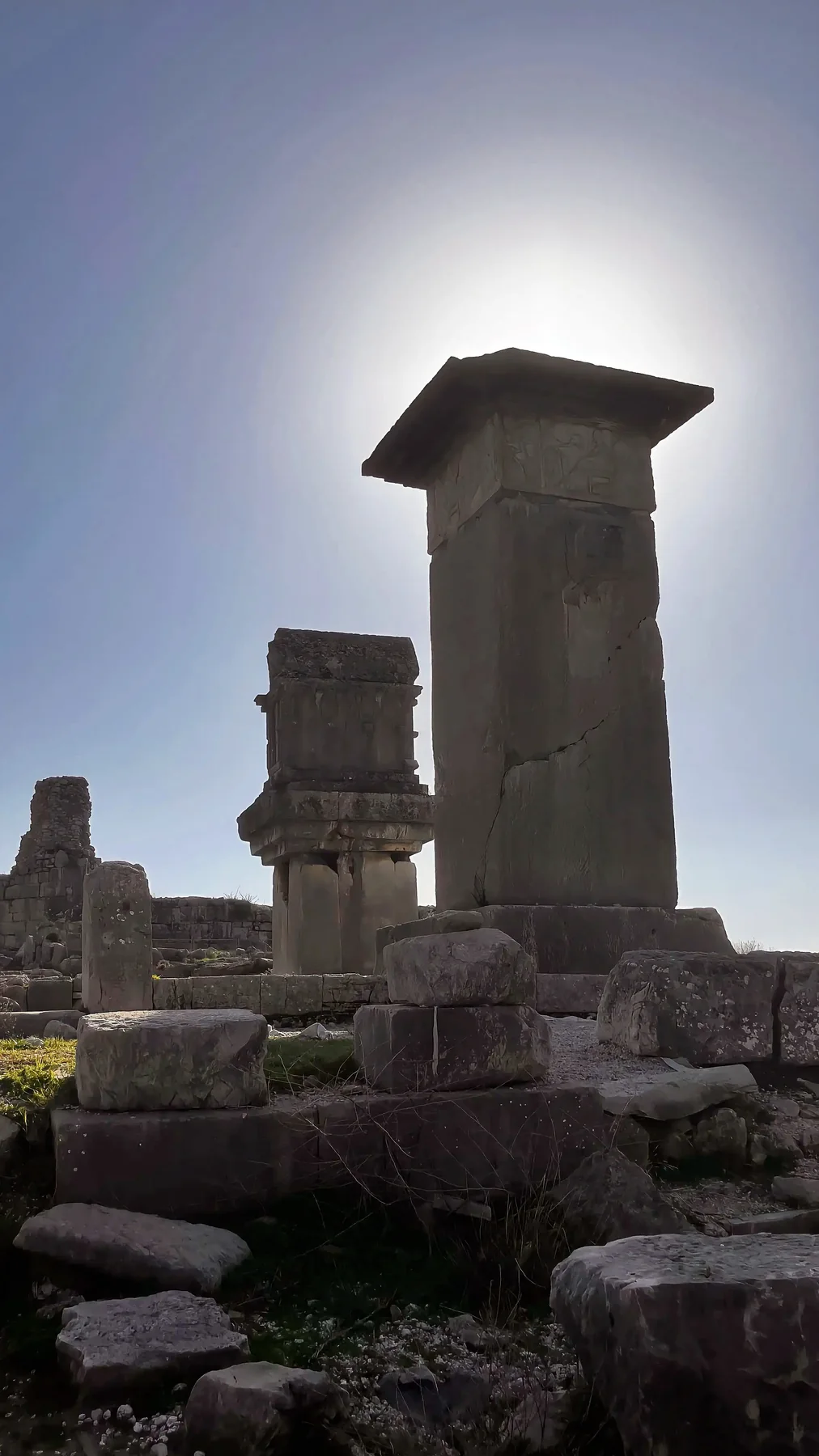
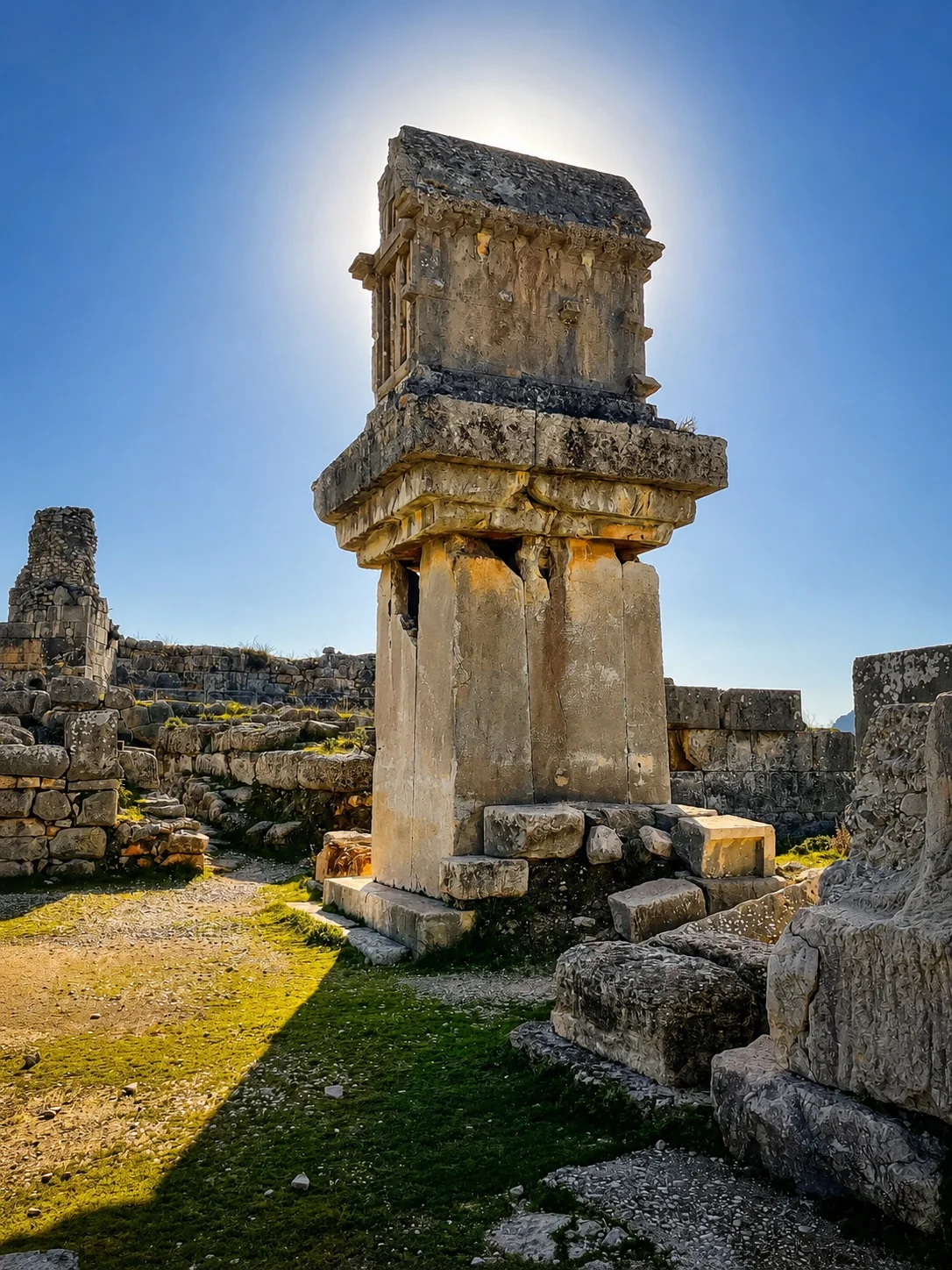
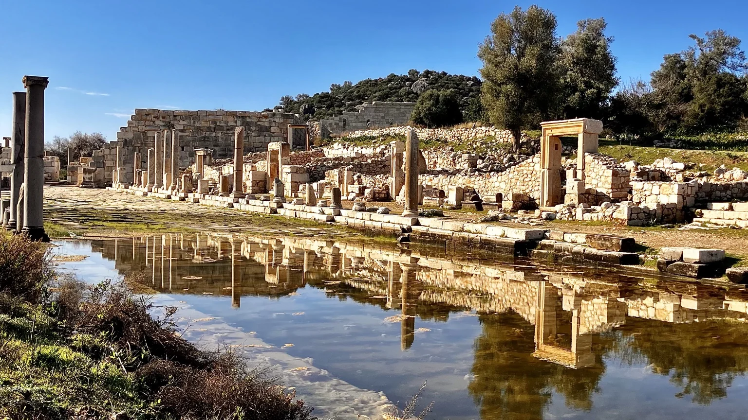
Xanthos and Letoon explain the political and religious heart of Lycia, while Patara adds the region’s maritime history, monumental ruins and a long Mediterranean beach. Together they make one of the clearest introductions to the Lycian world.
Myra, Kekova and the eastern coast
East of Kaş, Myra and Demre combine Lycian rock tombs and a Roman theatre with the later history associated with St Nicholas. Offshore, Kekova and Simena show how closely settlement, sea routes and the coastline are connected.
Tlos and the mountain landscape
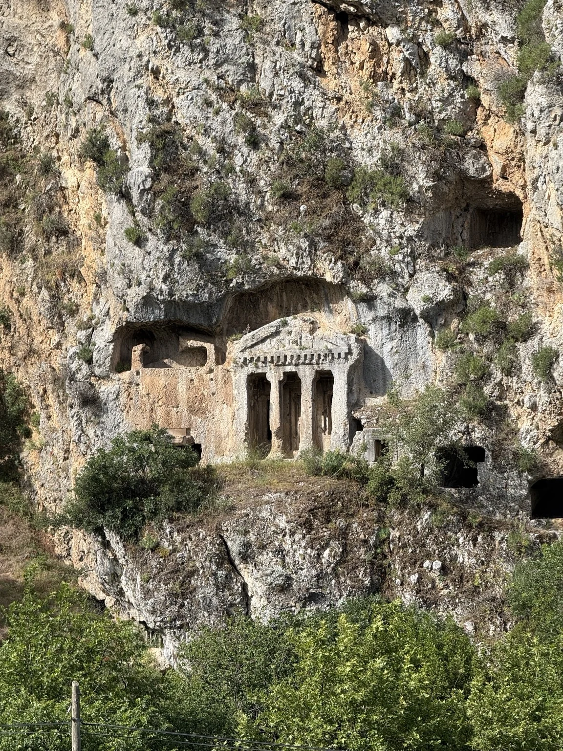
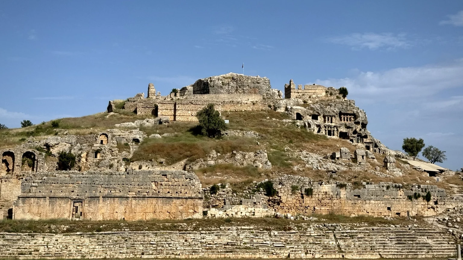
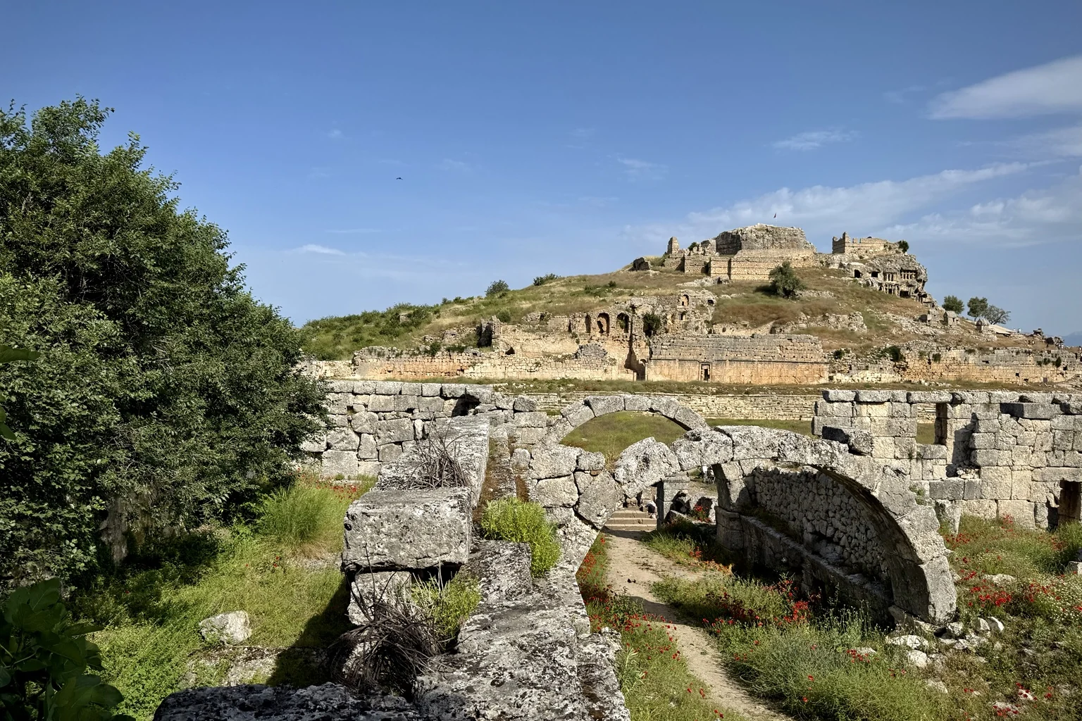
Tlos sits above the Xanthos valley and feels different from the coastal sites. Its acropolis, tombs and broad views make the relationship between Lycian cities and the mountains especially clear.
Planning from Kaş
Do not try to combine the entire Lycian Coast in one day. Choose either an eastern or western route, start archaeological visits early in hot weather, and leave time for the landscape between the sites. For a broader itinerary, see road trips from Kaş and the Lycian Way.